
What are north-west cloudbands?
A north-west cloudband is a broad layer of cloud. It can stretch from north-west to south-east Australia.
How north-west cloudbands affect Australia
North-west cloudbands affect much of north-western, central and south-eastern Australia. They can bring widespread, and sometimes heavy, rainfall.
These cloudbands generally happen between March and October. They are most frequent between April and September, lasting from a few days to a week.

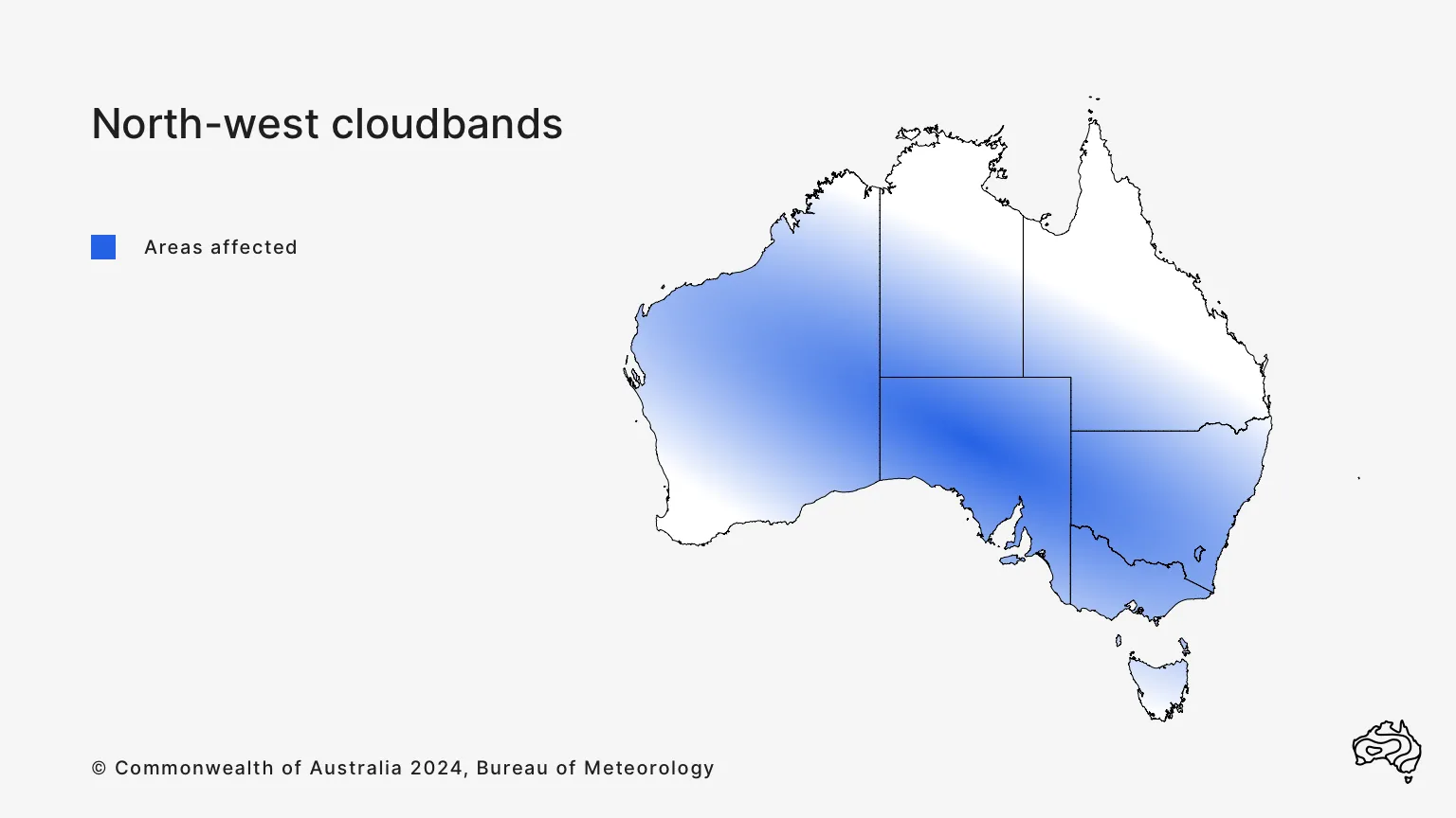
North-west cloudbands can affect north-western, central and south-eastern Australia between March and October. They happen most often between April and September, lasting from a few days to a week.
How north-west cloudbands develop
The cloudband develops from warm, moist tropical air that is drawn across the Indian Ocean. This air generally moves in a south-easterly direction. A cloudband forms when the air rises over colder air in the mid-latitudes.
Typically, this happens when tropical air north-west of Australia moves toward the cooler south. It flows along the western flank of a high pressure system over eastern Australia. The warmer air is forced to rise as it passes over cooler air, forming clouds.
Weather and climate factors related to north-west cloudbands
Cold fronts and cut-off lows
North-west cloudbands can also interact with:
- cold fronts – see Frontal systems
- cut-off lows.
When this happens over south-eastern Australia, it can lead to:
- deeper or thicker cloud
- periods of very heavy rainfall across central and south-eastern Australia.
Indian Ocean Dipole
North-west cloudbands may also have links with the Indian Ocean Dipole. When sea surface temperatures north-west of Australia are warmer than average, the cloudbands may:
- happen more often
- bring heavier rainfall.